One camera and a car became multi-camera rigs and a drone. How eight years of photogrammetry in the Icelandic wilds became the bones of Aema.
Iceland isn't just where we make our games. It's in them. The ruined kingdoms, red caverns and wind-scoured wastes of Aema — the fractured world of Echoes of the End — were built, quite literally, from the ground we stand on.
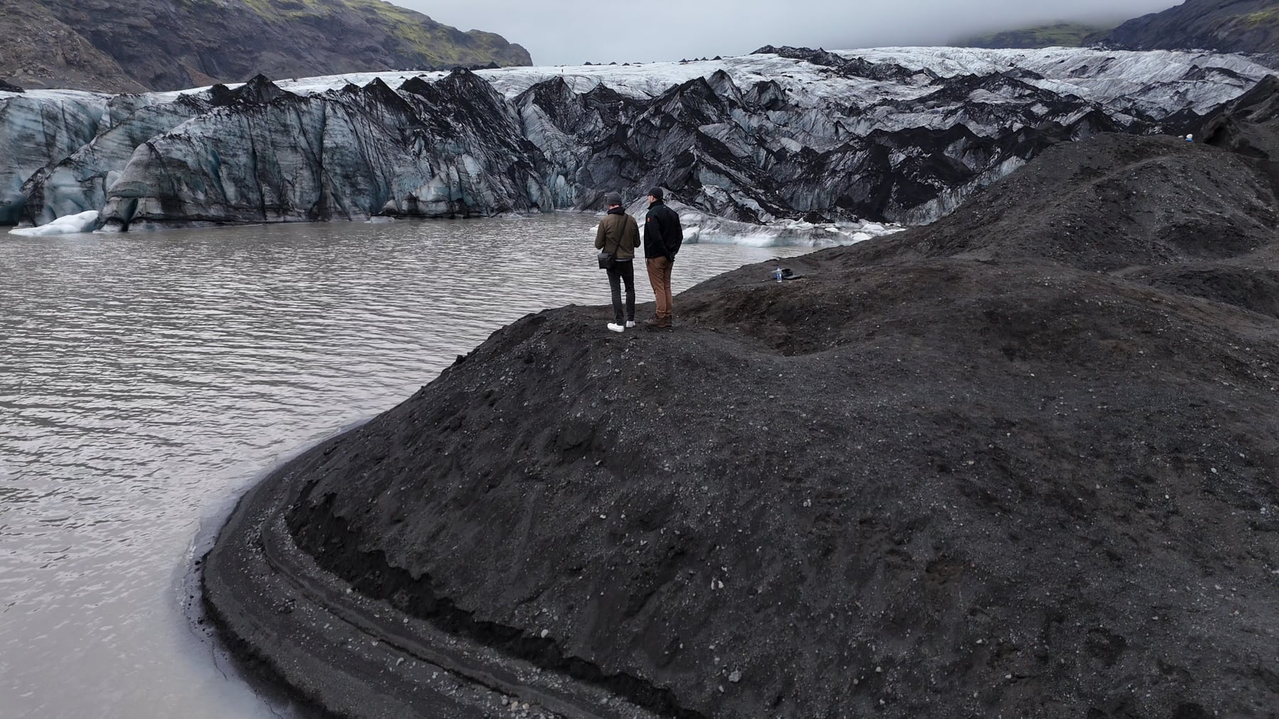
It started about as small as it possibly could: one camera, a car, and road trips into the countryside to photograph rocks, moss and weathered stone. Photogrammetry — turning hundreds of overlapping photographs into dense, accurate 3D geometry — was barely on anyone's radar back then. We learned it the hard way, on real Icelandic ground, and we've been refining that pipeline for the better part of eight years.
Today it's a proper operation: rigs of specialised cameras and multiple drones, capturing whole landscapes from the ground and the air. We've taken it all over Iceland — glacier ice and black-sand coasts, volcanic valleys, moss-covered lava and wind-carved cliffs — gathering the same diverse, otherworldly nature that draws travellers here from across the world. Every one of those biomes comes home as raw material for the world of Aema.
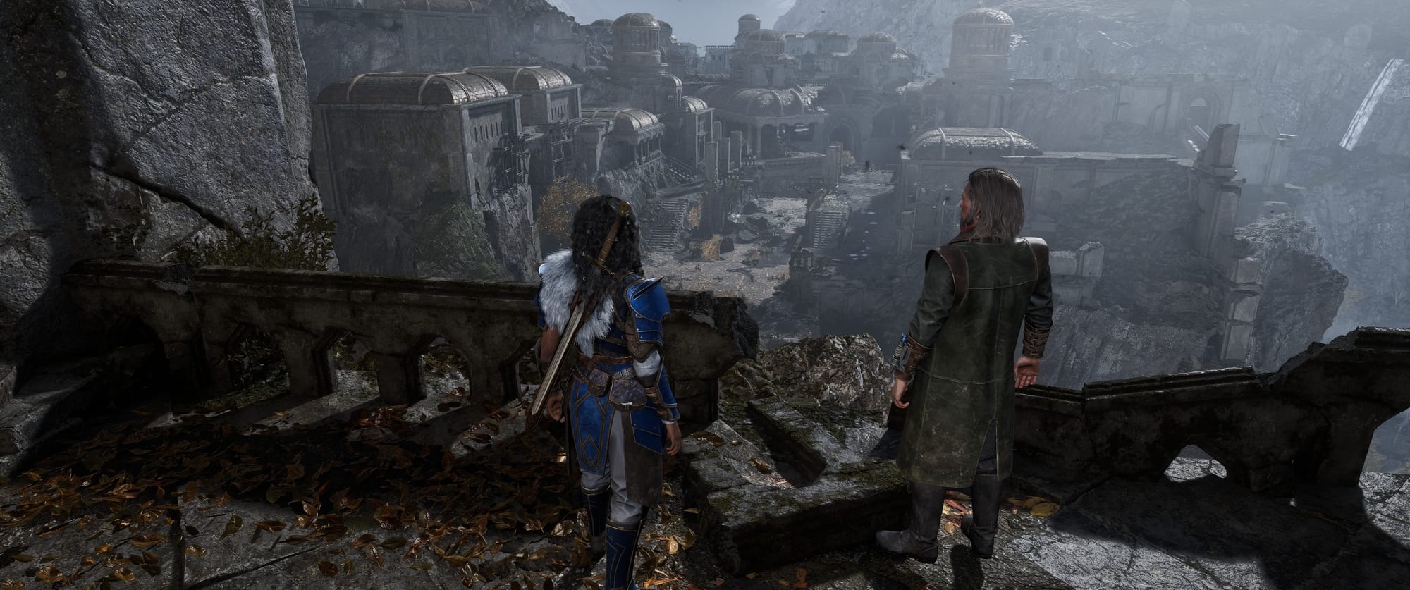
Scanning reality is only ever a starting point. It doesn't replace artistry; it grounds it. Every cliff, ruin and riverbed is reshaped, re-lit and hand-dressed by our environment team until it reads as somewhere fantastical rather than somewhere familiar — somewhere you feel you could stand, even though it's a kingdom that never existed.
It's a deeply Icelandic way to build a fantasy: capture the land honestly, then push it somewhere stranger. More than anything, it's why a Myrkur game looks the way it does — rooted in real stone and weather.
This is one of several looks behind the curtain at how Echoes was made, and how the north keeps shaping everything we build.